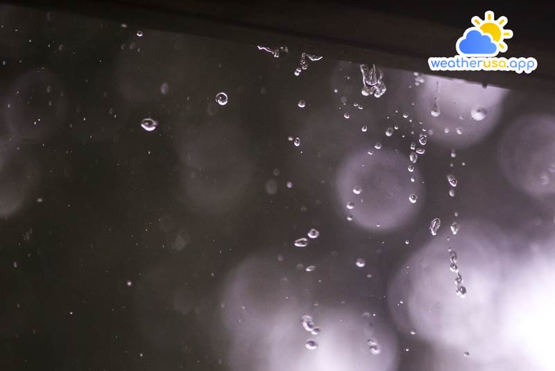
Precipitation
Precipitation
Precipitation classification

Sometimes precipitation also includes condensation products of water vapor directly formed on the ground, such as dew, hoarfrost, and freezing fog… Clouds, fog, mist, and smoke, are not called precipitation; meteorologists call the object of these observations a general term of meteorological phenomena.
The size of the cloud’s water droplets and ice crystals determines the precipitation conditions. They begin to fall when their size is large and heavy enough to overcome the updraft.
During the fall, through the thickness of the cloud, water droplets and ice crystals combine with smaller water droplets to increase their mass. Therefore, snow is often significantly from the types of cumulus clouds of falling raindrops.
In addition, the precipitation cloud depends on its colloidal stability, which is related to the physical structure of the cloud, i.e. the properties of the cloud components.
In the colloidal stability of a large shadow, when its essential elements are uniform in size and state, the probability of precipitation is less than in a cloud composed of water droplets and ice crystals of different sizes different size.
Classification of precipitation: According to the origin and rainfall characteristics, it is divided into three types: showers, regular, and drizzle.
- Precipitation falls from cumulonimbus clouds in the form of rain and snow with large particles.
The beginning and end are very sudden, and the intensity of the fall fluctuates very strongly and in a short time. Each drop lasts from a few minutes to 2-3 hours. Hail sometimes appears during showers.
- Precipitation is usually from cumulus clouds, sometimes from mid-level clouds. Rainfall usually occurs for a long time or intermittently, with moderate intensity and over a large area. The weather during precipitation is very cloudy.
- Precipitation that falls from stratus clouds in the form of tiny particles of rain or snow
Cloud types that do not allow precipitation are cystoliths and substrates, and their structure consists of tiny ice crystals, exceptionally high colloidal stability, does not agglomerate, and never provides precipitation.
The type of cumulus and cumulus clouds with a structure formed only by water droplets or only ice crystals has excellent colloidal stability, aggregation does not occur or occurs very slowly, and is difficult to precipitate. Table 1 shows the high probability of precipitation falling from certain cloud types.
| Cloud type
Precipitation |
Middle floor As | Dance floor Ns | Floor area Sc | Floor St | Floor Cu | Dance – volume Cb |
| Rain (usually) | x | x | x | x | ||
| Drizzle | x | x | ||||
| Snow | x | x | x | x | ||
| Shower | x | |||||
| Hail | x |
- Effect of precipitation on radar range. Attenuating the radar signal by rainfall occurs due to water molecules’ absorption of electromagnetic wave energy. In the rain, visibility on snow is much reduced than when blind.
The degree of relief depends on the intensity of precipitation; the more significant the passion, the lower the range of the radar. During showers, the signal reduction is most extraordinary.
The shorter the radar wavelength on board ships and the greater the intensity of precipitation, the greater its long-range effect.
- Precipitation Observation Method: Precipitation is observed by measuring the thickness of the layer of water that has fallen from the clouds to a horizontal area on the ground.
At weather stations, precipitation is calculated using an osmometer. It is a dedicated box placed on a stand in a precise place.
The amount of rainfall, or the amount of snowfall after a period or after a period of observation, is measured with a glass measuring tube with divisions; each division is 2 cm3, which corresponds to a 0.1 mm high water column. The amount of snow is measured using a specialized ruler.
The amount of precipitation is not measured on ships. Thanks to the radar, the movement and development of rain and related cloud systems can also be observed on the boat according to the brightness of the image on the screen – it tells about the intensity of the phenomenon. If the idea on the screen is clear, it was showers; the blurred vision is not clear – drizzle or fog.

Weather 01852 - Lowell MA

56°
overcast clouds
Feels like 55°05:36/19:47
61°F
/52°F
68%
1023 hPa
7 mi
8.05 mph


