A storm that has unleashed over half a foot of rain on parts of the Hawaiian islands will gradually spiral southward, maintaining a high flood risk early this week. Another major rainstorm could follow later in the week.
AccuWeather forecasters predict a wet spell for the Hawaiian Islands as a storm settles over the tropical paradise, bringing daily rounds of heavy showers and thunderstorms through Monday. A larger storm is expected later in the week, potentially triggering an atmospheric river and major flooding.
As of Sunday evening local time, an upper-atmosphere storm was positioned to the northeast of the island chain. "The storm will enhance shower and thunderstorm activity. Some of the strongest thunderstorms could even bring gusty winds," stated AccuWeather Meteorologist Joseph Bauer.
Weather forecast in Haleiwa HI
A pool of cool air high in the atmosphere will also create favorable conditions for hail formation.
The traditional northeast trade wind pattern, typically the dominant force behind Hawaii's weather, will be disrupted. These trade winds usually create wet conditions on the northern and eastern sides of the islands, with much less rain falling on the southern and western sides as moisture is wrung out over the mountains.
Showers will likely continue on both sides of the islands through Monday.
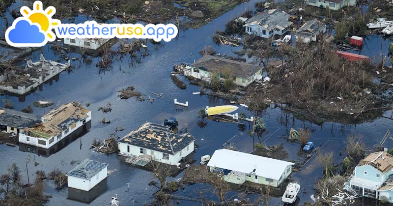
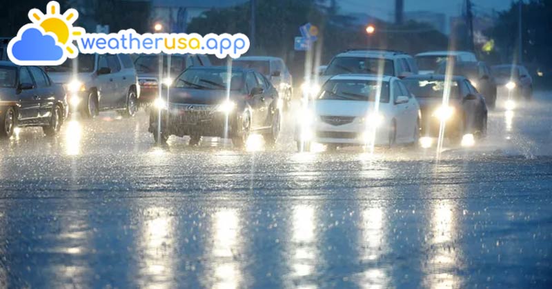
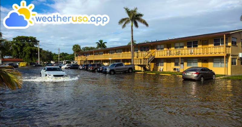
In some communities, the deluge can result in more serious conditions than just a bad day at the beach. "The repeated rounds of showers and thunderstorms, especially in areas not accustomed to such rainfall, could lead to flooding concerns and increased streamflows in local streams and creeks," said AccuWeather Meteorologist Joseph Bauer. Road closures may occur due to rapid runoff, overflowing streams, and debris flows.
Weather Forecast For Hakalau HI
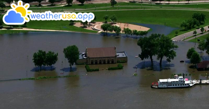
By early Friday morning, nearly 7 inches of rain had accumulated over the Ko‘olau mountains on the northeastern side of O‘ahu, according to the National Weather Service. This surge of water caused the Waiahole Stream to reach minor flood stage over several hours Thursday night.
AccuWeather experts urge residents and visitors to stay aware of weather alerts and heed all evacuation notices. Flooding can occur even in areas that miss the heaviest rainfall, especially in lower-elevation towns downstream of higher terrain.
AccuWeather meteorologists are closely monitoring the likelihood of more rain beginning in the Hawaii Islands as early as Wednesday, ramping up into Friday and continuing into the weekend.
See more: Zipcode in Kapolei HI
"One key difference with the new storm brewing will be the potential for an atmospheric river to set up and stall over part of the islands," said AccuWeather Senior Meteorologist Alex Sosnowski.
Climate and Average Weather in Haiku HI
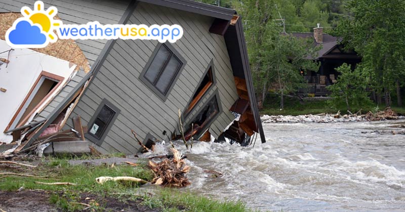
An atmospheric river is a long plume of moisture extending from the tropics to intermediate latitudes, acting as a conveyor belt or firehose of heavy rainfall. "If this setup evolves to its full potential, many inches of rain may be released in a matter of hours on some of the southwest-facing slopes of the mountains, potentially leading to major flash flooding or a flooding disaster," Sosnowski warned.
"The position of the parent storm, well to the northwest of the islands, may also lead to rare northwest swells and heavy wave action along northwest-facing beaches and coastal areas," added AccuWeather Meteorologist Alex DaSilva.